Our Services
Our Services

Planning
We provide detailed project assessments and develop comprehensive strategies to ensure efficient use of resources and smooth execution. Our expert planning lays a solid foundation for the success of your project.

Layout Area
We design and plan the best use of space, ensuring that every part of your project is well-organized and functional.

Volume
We calculate accurate volume measurements to assist in planning and resource management. Our precise volume assessments help ensure that your project meets all specifications and requirements.

Contour Survey
We create detailed maps showing the land’s shape and elevation. Our contour surveys highlight hills, valleys, and flat areas, providing essential information for accurate planning and design.

Road Design
We craft precise road designs to ensure smooth and efficient transportation. Our solutions focus on optimizing traffic flow, safety, and durability for your road projects.

Autocad Drawing
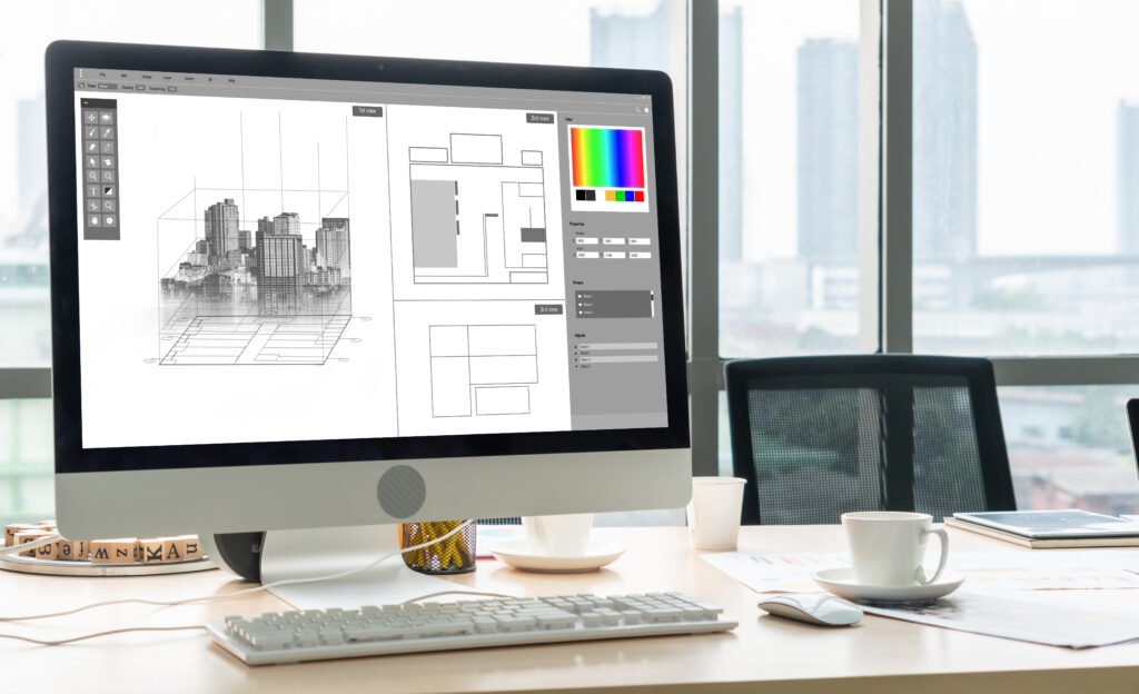
We produce detailed and accurate digital drawings using AutoCAD. Our designs provide clear and precise visuals for your projects, facilitating effective planning and execution.

GPS Survey
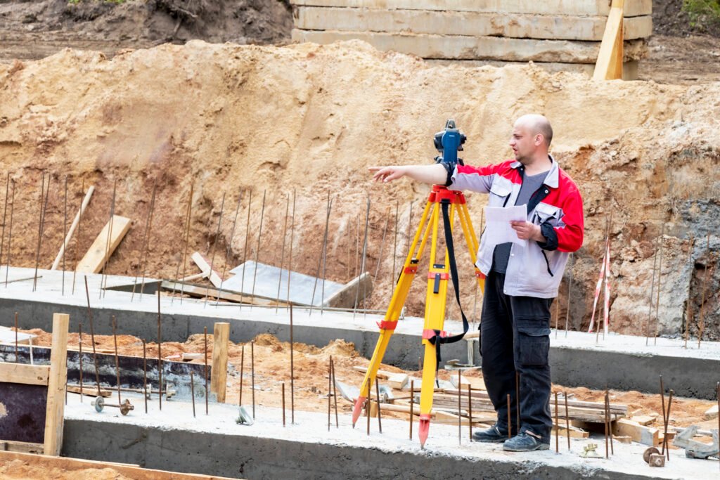
We use advanced GPS technology for precise land measurements and accurate mapping, helping you with reliable data for your projects.

Topographical Survey
We deliver detailed maps showing the land’s contours and features, including hills and valleys. Our topographical surveys provide crucial insights for effective planning and design.

L section X section
We provide detailed cross-sectional views of the land, showing cuts from different angles. L Section offers a side view, while X Section shows a cross view, helping you understand land shape and elevation.

Plot Demarcation
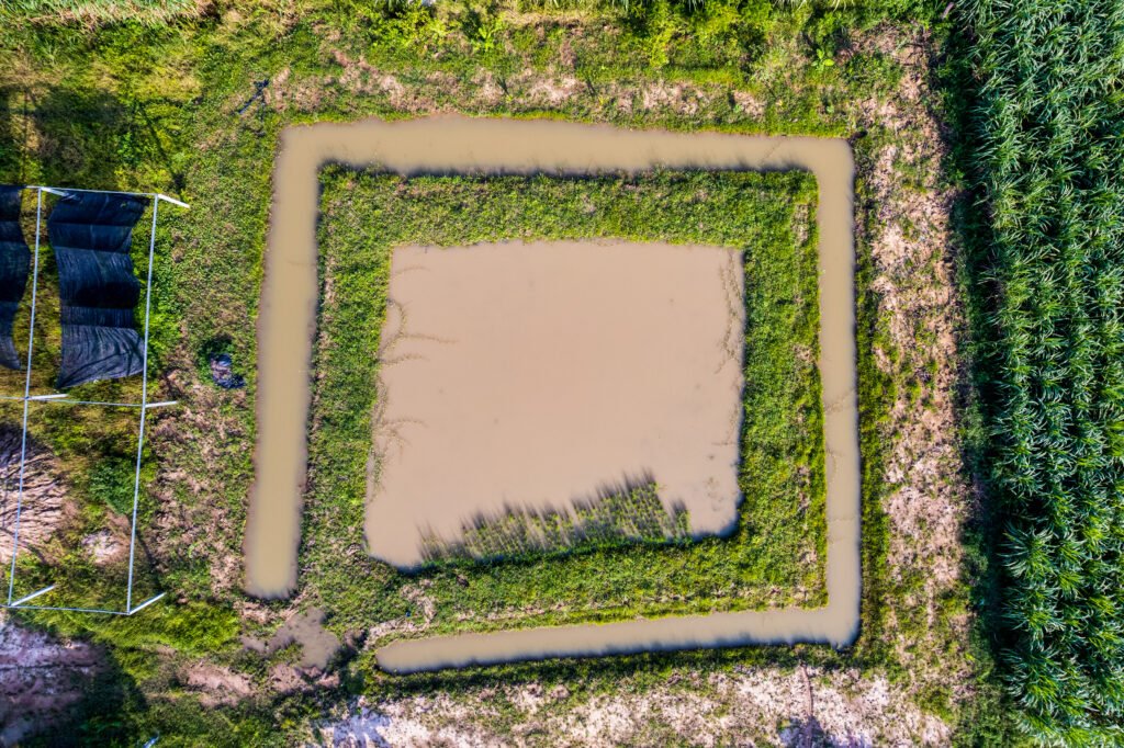
We mark your land’s boundaries precisely, defining clear limits and divisions. This ensures accurate property lines and easy identification.

